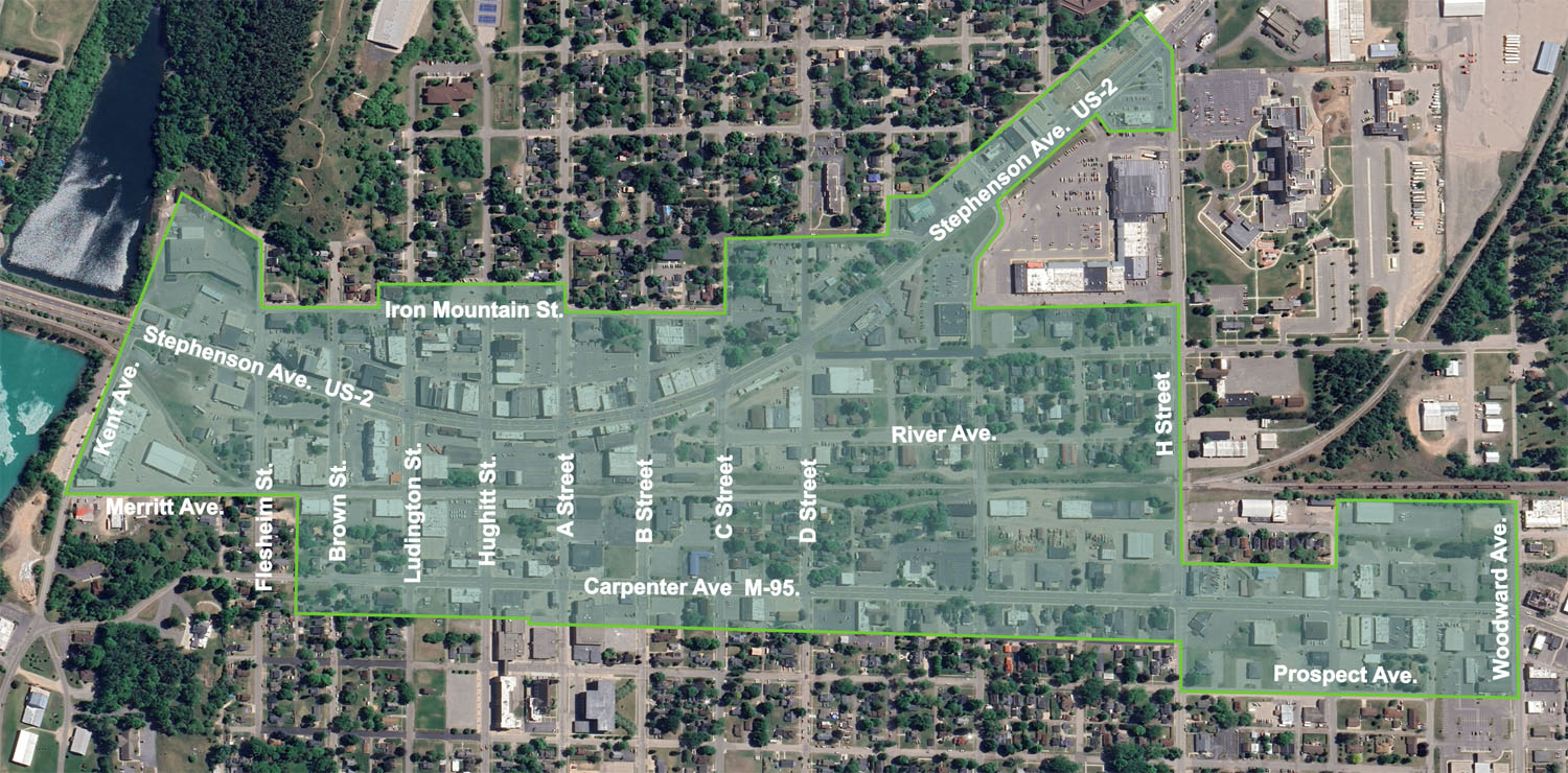
City of Iron Mountain Downtown Development Authority
Iron Mountain Downtown District Boundary
The photo-based map below is the current boundary of the Iron Mountain Downtown District originally adopted in 1978, as amended in 2003 and 2016. The map is rotated 90 degrees for ease of use on the website, so that north is on the left side, east is on the top. To view the map in a traditional north-south orientation, and/or to download a printable PDF copy, click on the big green button below the map.